Since 1997, J.W. Austin Associates has provided professional land surveying services to the lake country of northern Wisconsin.
While most of our experience and expertise is centered around the Public Land Survey System and the use of the Global Navigation Satellite System (GNSS), we would welcome the opportunity to discuss your project regardless of size… call us!
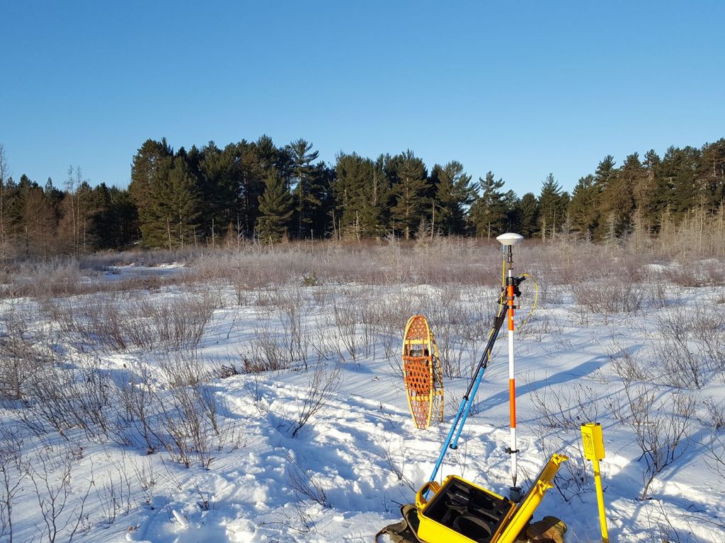
Equipped with the latest GNSS satellite positioning equipment, J.W. Austin Associates employs this technology to complete your project in the most efficient and precise manner possible. We have surveyed thousands of Public Land Survey System corners and geodetic control points with this technology in support of county remonumentation and parcel mapping programs.
Other services we provide
- County Remonumentation Projects
- Geodetic Control Survey
- Boundary Surveys
- Certified Survey Map
- ALTA/NSPS Land Title Surveys
- Expert Witness Testimony
- Riparian and Lakebed Consulting
Services we don’t provide
- Condominium Plats
- Construction Staking
- Land Development Surveys
- Topographic Surveys
- FEMA Elevation Certificates